
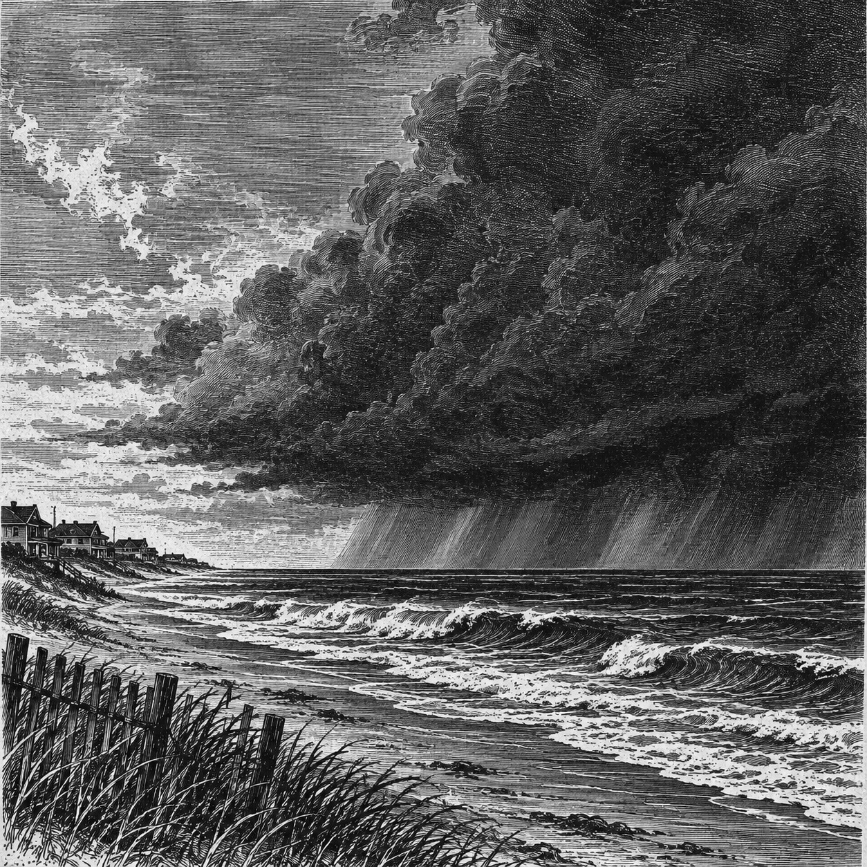
MOBILE, Ala. — Artificial intelligence is helping hurricane forecasters anticipate the strength and path of Hurricane Isaias as the storm approaches Alabama and the northern Gulf Coast, providing guidance that has influenced official predictions since before the system had a name.
Forecasters at the National Hurricane Center have leaned heavily on a model developed by Google DeepMind, which pointed toward a stronger storm while many traditional computer models were less consistent. The hurricane center predicted Category 2 strength in its first advisory Tuesday.
By 4 a.m. CDT Friday, Isaias had maximum sustained winds of 110 mph and was moving north-northeast at 15 mph. The hurricane center said it was likely to become a major hurricane Friday morning before weakening slightly ahead of landfall Friday night or early Saturday. It was expected to remain dangerous.
A hurricane warning stretched from Ocean Springs, Mississippi, to the Bay-Gulf county line in Florida, including Alabama’s coastline. The forecast placed landfall somewhere within that warning area, not necessarily in Alabama.
The reliance on AI reflects growing confidence in technology that can recognize patterns in weather data and help forecasters identify dangerous storms earlier. Traditional models use mathematical equations describing atmospheric behavior, while AI models learn from historical weather information. DeepMind’s system also receives current weather data.
“The AI models have shown more consistency,” hurricane center Director Michael Brennan told CNN, referring to their predictions from one forecast run to the next during Isaias.
That early guidance helped support a stronger initial forecast rather than a series of smaller increases as the storm developed. But Brennan said AI was not the only reason forecasters have become more willing to predict rapid strengthening. Traditional model guidance and meteorologists’ understanding of a storm’s environment also contribute.
“It’s not just one thing, but certainly the AI models have done pretty well in some of those cases,” Brennan told CNN.
The hurricane center worked with Google to train its model using the agency’s best-track analyses — assessments of storms’ past positions and strengths. Brennan said that hurricane-specific information helped improve intensity predictions compared with earlier AI models that performed well on tracks but struggled with storm strength.
Recent results suggest AI can outperform familiar forecasting models, particularly in predicting where hurricanes will travel. Its advantage is less consistent when predicting how strong they will become.
In a review of 2025 performance, WDSU meteorologist Derek Sibley reported that Google DeepMind outperformed the traditional American and European models in hurricane track forecasts, particularly from 12 to 96 hours ahead. It also beat the hurricane center’s official track forecasts at several intervals, though not at five days.
Intensity forecasts were closer. DeepMind and the hurricane center were nearly even, with the AI model performing better between 36 and 60 hours ahead, according to Sibley’s review. Those findings do not establish that AI is better for every storm or every forecast period.
Isaias offers another test. The storm has already reached the Category 2 strength predicted early in its development, but its eventual landfall and peak intensity will determine how well the competing forecasts performed.
WBRC meteorologist J.P. Dice also described AI as an additional forecasting tool, not a replacement for meteorologists. Forecasters still must evaluate model guidance, decide which predictions deserve the most weight and communicate the risks to the public, WBRC reported.
As the forecasting technology evolves, Alabama’s immediate concerns remain storm surge, damaging winds, flooding and tornadoes.
The hurricane center’s 4 a.m. advisory forecast water levels of 5 to 7 feet above ground somewhere along the coast from Dauphin Island to Indian Pass, Florida, if peak surge coincides with high tide. Mobile Bay could see 3 to 5 feet under those conditions.
Southern Alabama was expected to receive 4 to 8 inches of rain through the weekend. Forecasters warned that flash and urban flooding could have considerable impacts across much of southern Alabama, with river flooding also expected.
The tornado threat was forecast to begin late Friday afternoon along coastal Alabama and continue overnight, then extend into parts of eastern Alabama on Saturday. Tropical storm conditions were expected to begin Friday, ahead of hurricane conditions Friday night into early Saturday.
Gov. Kay Ivey declared a state of emergency for 40 counties Wednesday. On Thursday, she announced mandatory evacuations for nonresidents, tourists and visitors in Baldwin County south of the Gulf Intracoastal Waterway, including Gulf Shores and Orange Beach, and on Dauphin Island in Mobile County.
State offices and buildings in Baldwin, Coffee, Covington, Dale, Escambia, Geneva, Henry, Houston and Mobile counties were directed to close at noon Friday.
Even with AI’s growing role, direct storm observations remain essential. Air Force and National Oceanic and Atmospheric Administration hurricane hunters provided the measurements showing Isaias had strengthened to 110 mph early Friday.
The hurricane center urged people in the warning area to finish preparations and promptly follow evacuation instructions from local officials as conditions deteriorate Friday.